Historical USCGS Aerial Photos – South Florida
Project Link: Historical US Coast and Geodetic Survey (USCGS) Aerial Photographs Download Archive (http://maps.fiu.edu/sfchap)
Funding Agency: U.S. Geological Survey
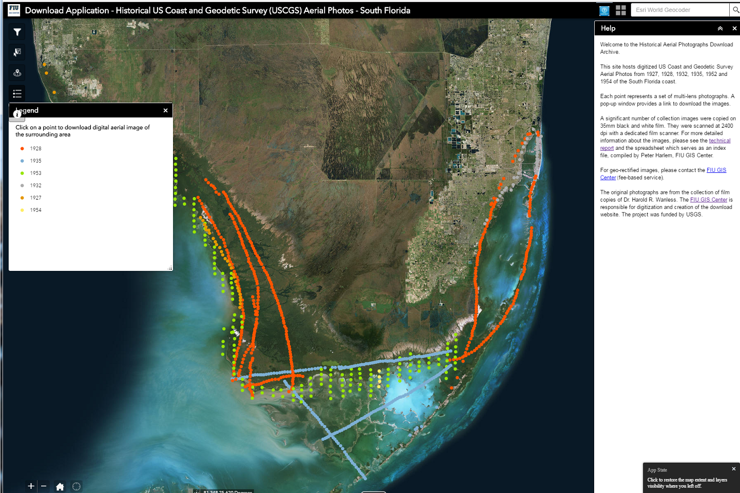
This web-application hosts digitized US Coast and Geodetic Survey Aerial Photos from 1927, 1928, 1932, 1935, 1952 and 1954 of the South Florida coast. The original photographs are from the collection of film copies of Dr. Harold R. Wanless. The FIU GIS Center is responsible for digitization and creation of the download website. The project was funded by USGS.
Each point represents a set of multi-lens photographs. A pop-up window provides a link to download the images.
A significant number of collection images were copied on 35mm black and white film. They were scanned at 2400 dpi with a dedicated film scanner.
Date
March 18, 2018
Category
Digital Archives & History, Other