Geo-Spatial Data Preparation Modules of Remote Sensing Methods for the Implementation of Disaster Risk Reduction Modeling
Project Link: Coral Gables Sea Level Rise Impact Planning Tool (https://slr.fiu.edu/CoralGables)
Funding Agency: USAID
People: Daniel Gann, PI / Liya Mango, Research Associate / Ximena Mesa, Research Associate / Juan Pablo Sarmiento, Bell Program Director
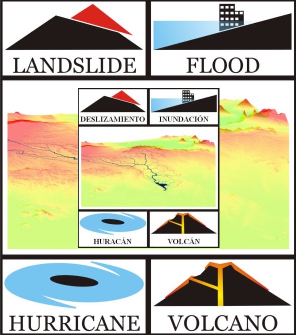
The FIU GIS Center, in conjunction with the Disaster Risk Reduction (DRR) Program and the Bell Program, developed and implemented online training modules and onsite short courses with the objective of building capacity in the field of data preparation for disaster risk assessment modeling. The focus of the modules is to establish data processing procedures for elevating data and extracting spatially explicit information from raw data for implementation of the Central American Probabilistic Risk Assessment (CAPRA) model. CAPRA applies principles of probabilistic risk assessment to the analysis of hurricane, earthquake, volcano, flood, tsunami and landslide hazards. CAPRA applications include the creation and visualization of hazard and risk maps, cost-benefit analysis tools for risk mitigation investments, and the development of financial risk transfer strategies. For the assessment and modeling of primary hazards (e.g., hurricane, earthquake, volcano eruption) and secondary hazards (e.g., flooding and landslides), and the definition of exposure and vulnerability, separate programs were developed. These modules produce model outputs that consequently are incorporated into the risk modeling within CAPRA, and therefore allow for a comprehensive system of natural risk assessment.
Date
June 16, 2009
Category
Other