Regional Environmental Monitoring and Assessment Program (R-EMAP): Greater Everglades Whole-Ecosystem Monitoring and Assessment – Interactive Web Application
Project Link: Everglades R-EMAP Web Application (http://maps.fiu.edu/gmaps/EverMap.php)
Funding Agency: Everglades National Park, U.S. Environmental Protection Agency
People: Daniel Gann, PI / Dan McGillicuddy, Developer – Phase I / Seiji Uchiyama, Developer – Phase II
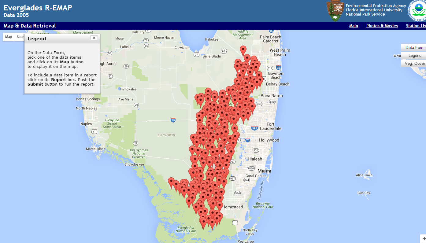
The Everglades R-EMAP project produced large quantities of data collected at random sampling sites.┬á Data collection and analysis is an ongoing, long-term activity conducted by scientists of different disciplines at irregular intervals of several years. The data sets collected for┬á232 sites in┬á2005 and for 125 sites in┬á2014┬áinclude bio-geo-chemical (including mercury and hydro period), fish, invertebrate, periphyton and plant data, as well as vegetation maps. Each sampling site is associated with a location, a description of the site to provide a general overview, and photographs to provide a pictorial impression.┬áThe Geographic Information Systems Center (GIS Center) at Florida International University (FIU) has designed and implemented an enterprise database for long-term storage of the project’s data in a central repository, providing the framework of data storage for the continuity of future sampling campaigns, and allowing integration of new sample data as it becomes available. Data for 2005 are all available online, and data for 2014 are expected to be availabe by October 2018.┬á In addition, the GIS Center provides this interactive web application for easy, quick and effective retrieval and visualization of that data.
Date
January 16, 2009
Category
Ecosystems