

Phase I: Following Freshwater Inputs to the Bay
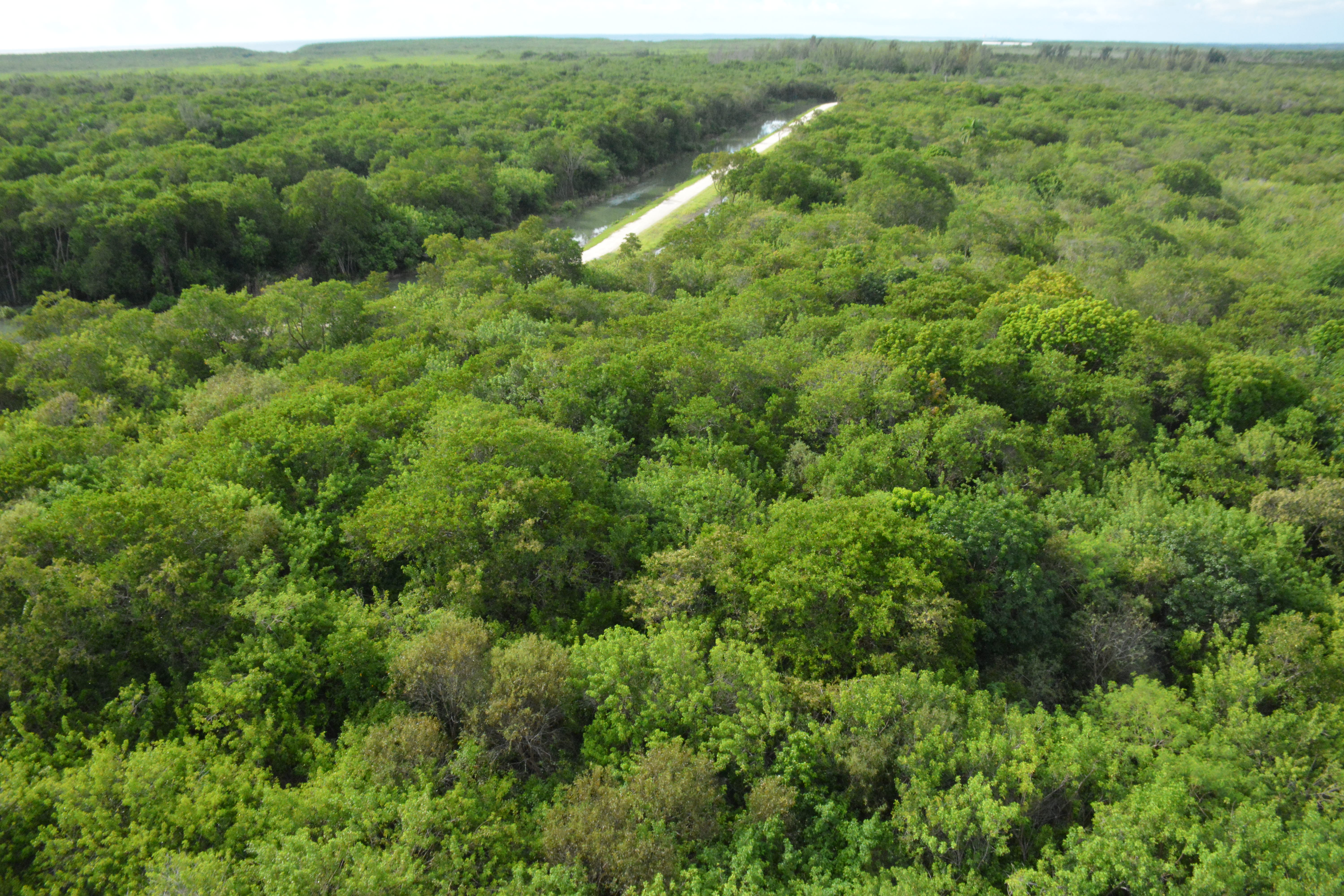
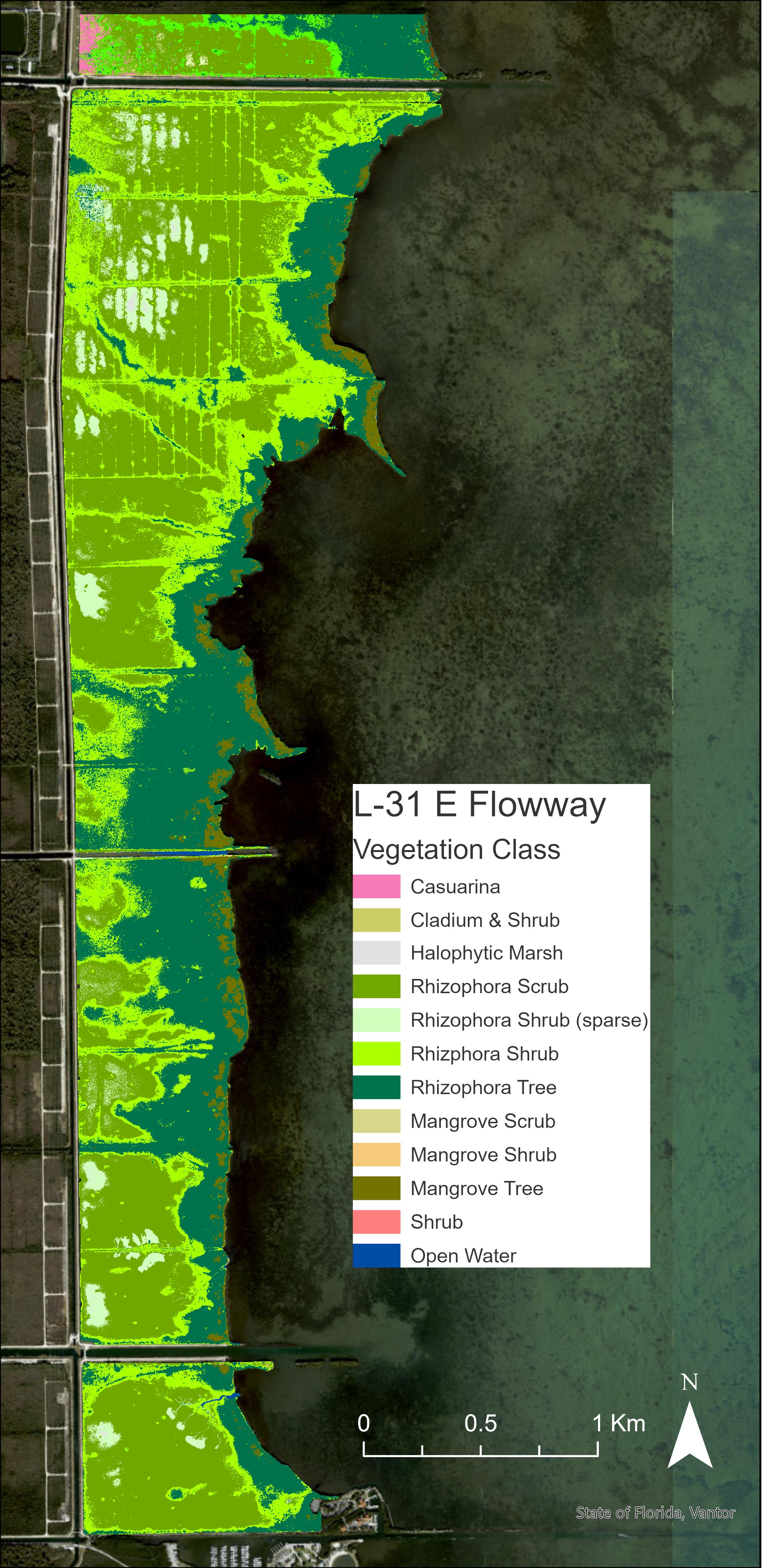
Phase I produced the first vegetation maps of the L-31E Flow Way and North Canal Freshwater Wetland. These areas form an important connection between inland freshwater and Biscayne Bay, but their vegetation reflects very different histories of water management and disturbance.
The maps reveal a striking transition from short red mangrove scrub inland to tall forest near the coast. They also show ribbons of taller mangroves tracing creeks, canals, and historic mosquito ditches. Nearby, the North Canal Freshwater Wetland bears a stronger human imprint, with extensive Australian pine and other woody vegetation surrounding remnant marsh. These contrasts provide a natural laboratory for understanding how freshwater pathways and past disturbance shape coastal wetlands.
Phase II: Capturing the Cutler Wetlands Before Restoration
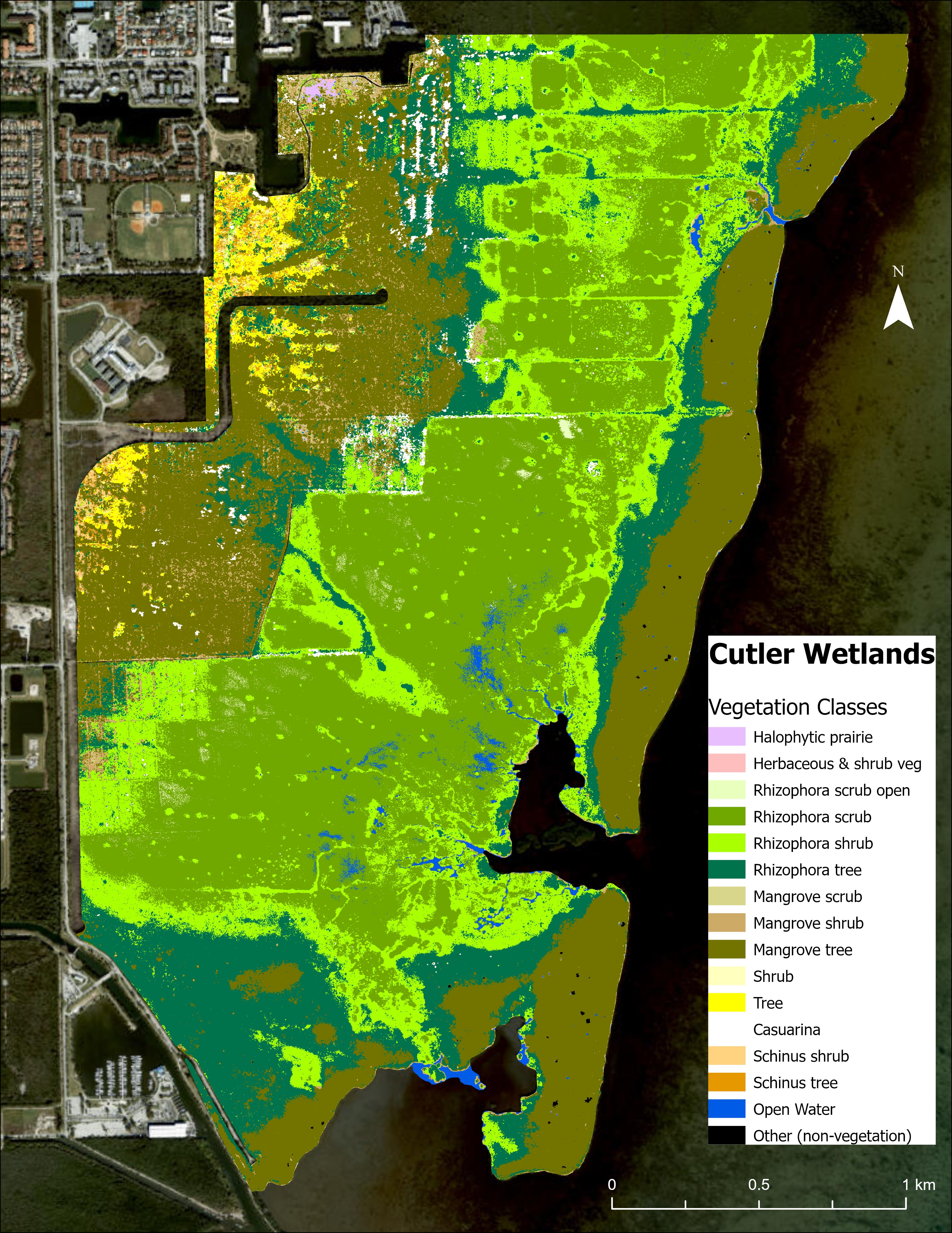
Phase II expanded the work north to the Cutler Wetlands as a new spreader canal prepared to deliver freshwater across the landscape. Mapping was part of a broader ecological monitoring effort that also examined vegetation, periphyton, water conditions, and soils, creating a richer picture of wetland health before restoration takes effect.
The Cutler Wetlands map distinguishes red-mangrove-dominated and mixed forests, separates low scrub from shrub and tree canopies, and identifies Australian pine, Brazilian pepper, open red mangrove, and small graminoid marshes. This detail captures both the ecological diversity of the wetland and the legacy of human disturbance. Future maps can show whether renewed freshwater flow reshapes that pattern—supporting marsh communities, changing mangrove structure, and limiting invasive trees.
Why These Maps Matter
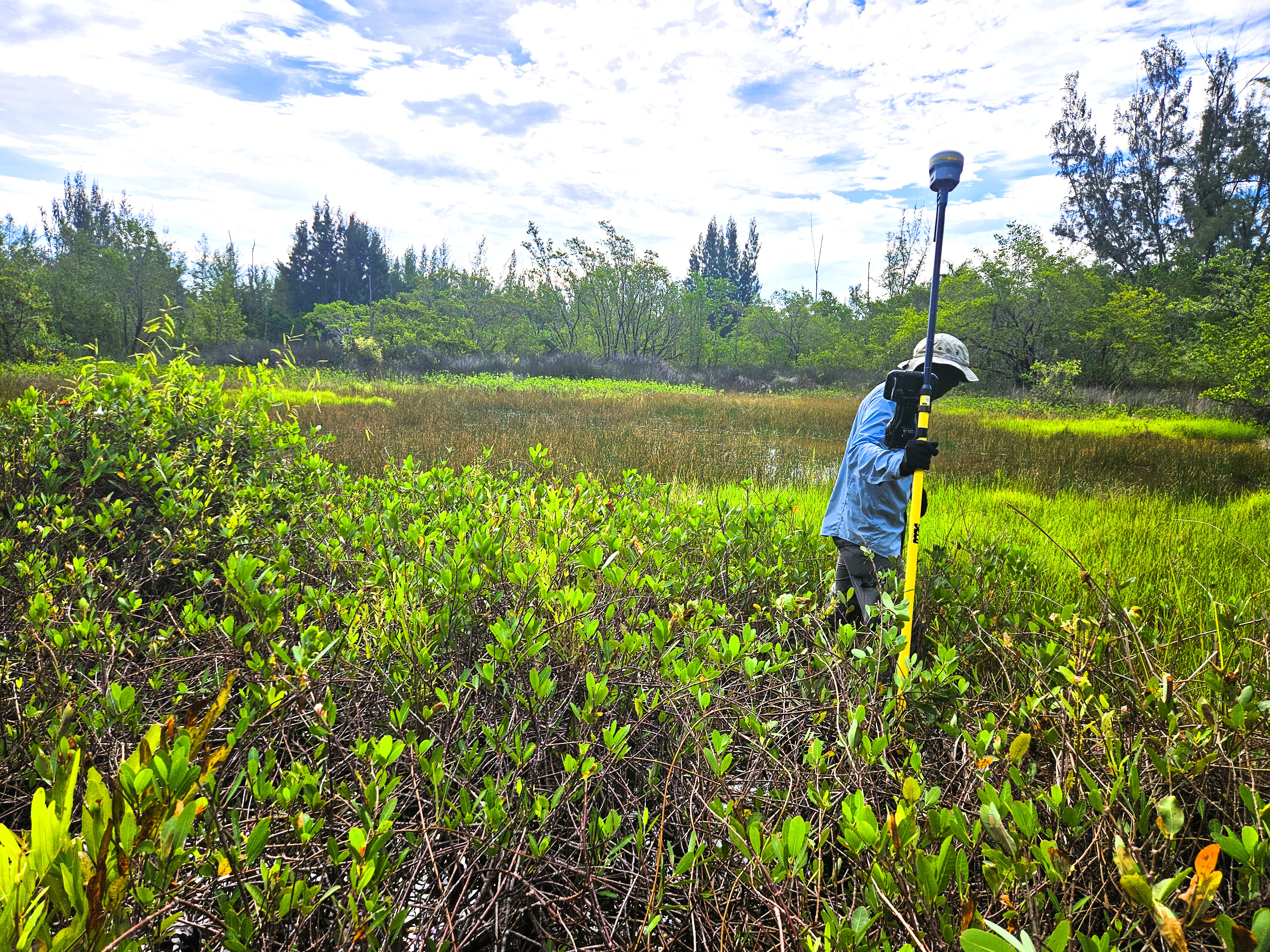
Coastal restoration unfolds unevenly across space. A change that benefits one part of a wetland may be absent only a few hundred meters away. By mapping the full landscape in fine detail, this project gives scientists and water managers a way to see where restoration is working, identify communities that remain vulnerable, and guide future monitoring and management along Biscayne Bay.