

Resilience Begins with the Next Generation
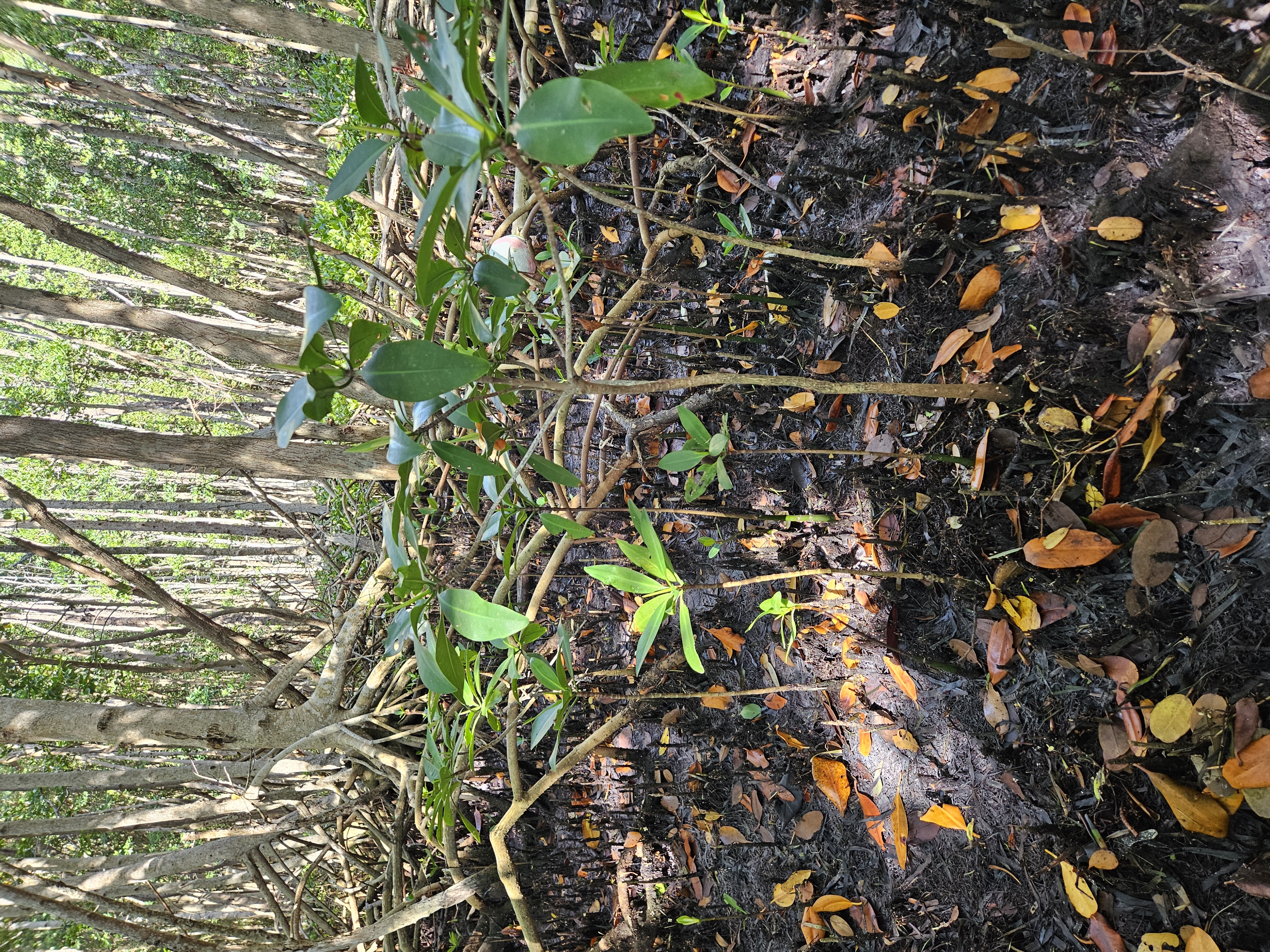
For a mangrove forest to persist, mature trees must flower and produce fruit; floating propagules must reach suitable habitat; seedlings must establish; and young trees must survive long enough to reproduce. A forest can therefore appear healthy while having few seedlings or saplings available to replace trees lost in the next storm, fire, or period of prolonged flooding.
Scaling from Plots to Landscapes
Field plots reveal location-specific conditions for individual plants. The larger landscape determines where their propagules can go. Ponds, ridges, dense vegetation, roads, and channels can redirect water or interrupt movement between forests. Freshwater flow, tides, wind, and storms can strengthen those connections or create new ones.
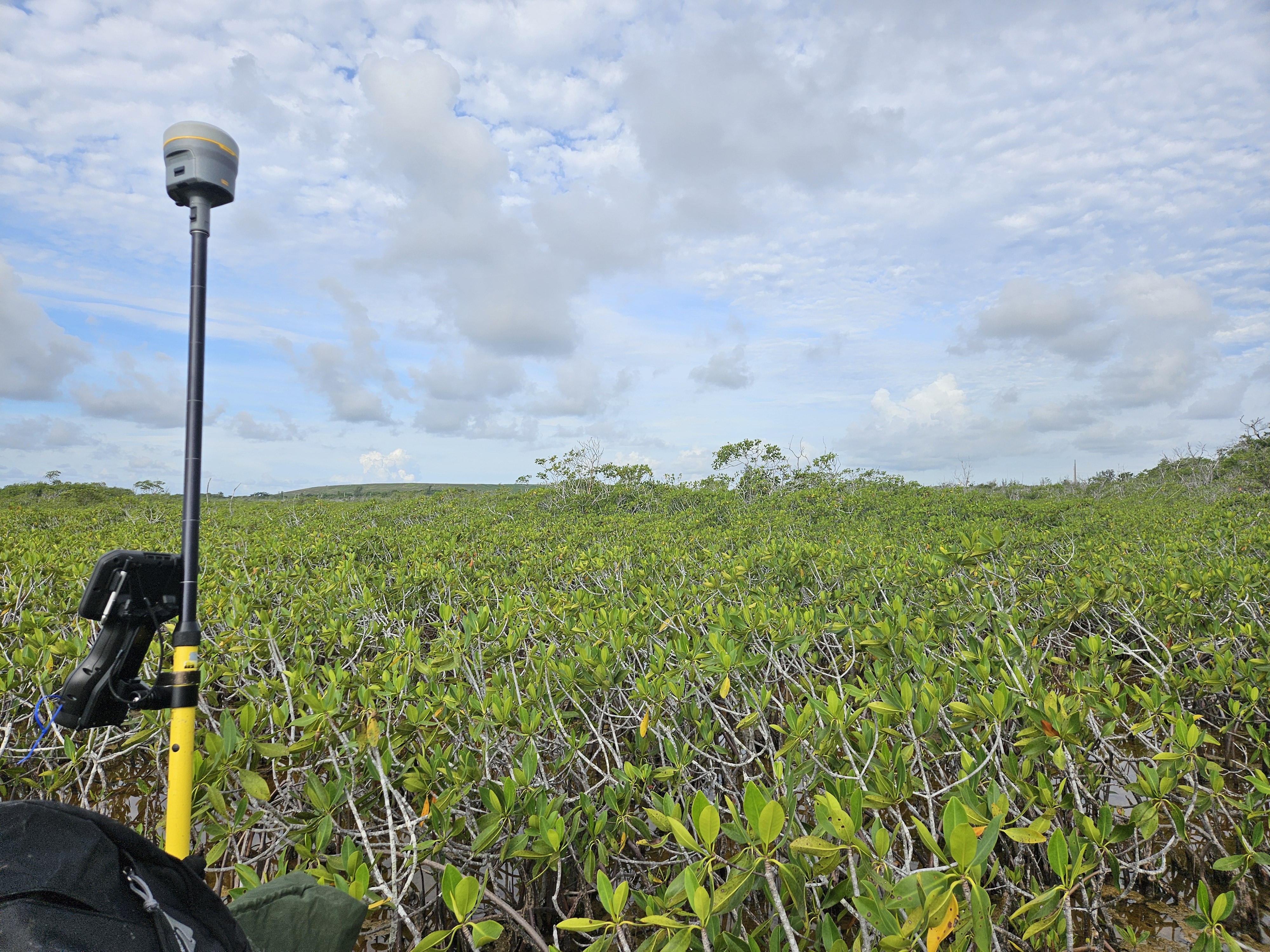
We will map vegetation across the study area to show where forests are mixed, where red mangrove dominates, where vegetation is sparse or absent, and how forest height and density vary. Hydrological models will describe salinity and flooding and simulate how water—and the propagules it carries—moves under wet, dry, and storm conditions. Combining the vegetation maps and hydrological models will show how forests are connected across the coast and where movement may be restricted.
We can then place each field plot within its landscape setting and ask why regeneration is limited. Are few young mangroves present because propagules do not arrive, or because local salinity, flooding, or soil conditions prevent them from establishing? Separating limited dispersal from unsuitable habitat is essential for understanding how mangrove communities form and how they may change.
Informing Coastal Restoration
The project will bring these plot- and landscape-scale observations together to estimate where mangrove recruitment and regeneration are most likely under different freshwater-management scenarios. The results will help identify landscapes that retain the ecological connections and young life stages needed for recovery, as well as places where those processes are breaking down. This ecological perspective can help managers evaluate how freshwater delivery may support persistent, vegetated coastlines as sea level rises and disturbances continue.