2005 Data Collection for Everglades R-EMAP

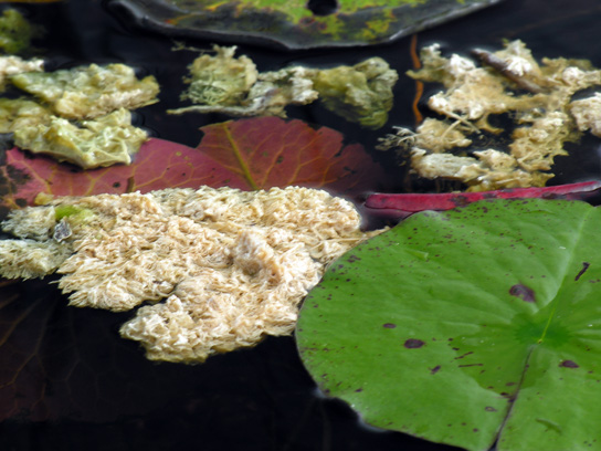
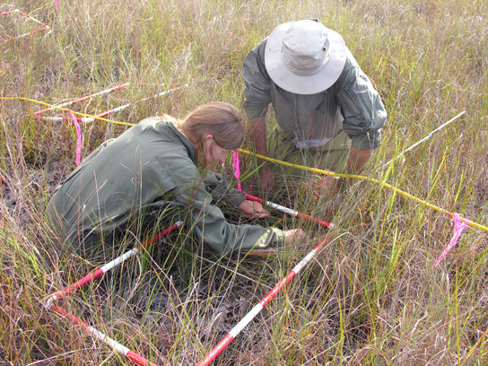
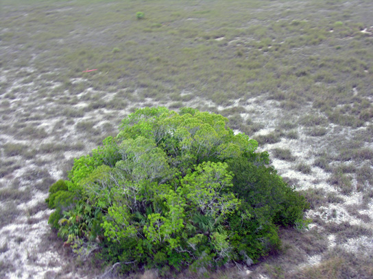
The Everglades R-EMAP project for year 2005 produced large quantities of data collected at 232 sampling sites. Data collection and analysis is an on-going long-term activity conducted by scientists of different disciplines at irregular intervals of several years. The data sets collected for 2005 include bio-geo-chemical (including mercury and hydro period), fish, invertebrate, periphyton, and plant data. Each sampling site is associated with a location, a description of the site to provide a general overview and photographs to provide a pictorial impression.
The Geographic Information Systems and Remote Sensing Center (GISRSC) at Florida International University (FIU) has designed and implemented an enterprise database for long-term storage of the projectís data in a central repository, providing the framework of data storage for the continuity of future sampling campaigns and allowing integration of new sample data as it becomes available. In addition GISRSC provides this interactive web application for easy, quick and effective retrieval and visualization of that data.


The Everglades Regional Environmental Monitoring Assessment Program (R-EMAP) has provided monitoring and assessment data for measuring ecosystem health and the effectiveness of Everglades restoration activities from the 1990s into the twenty-first century. As CERP restoration efforts and Everglades phosphorus and mercury control efforts proceed, this probability-based sampling can be repeated to document the condition of the Everglades and the effectiveness of these actions.
The EPA's Everglades Ecosystem Assessment Program is a long-term research, monitoring and assessment effort. Its goal is to provide critical, timely, scientific information needed for management decisions on the Everglades ecosystem and its restoration. Since 1993, three phases of marsh sampling and one phase of canal sampling have been conducted throughout the Everglades at over 1000 different locations. The Program is unique to South Florida in that it combines several key aspects of scientific study: a probability-based sampling design, which permits quantitative statements across space about the condition of the ecosystem; a multi-media aspect; and extensive spatial coverage.
Many entities have contributed to this Program, including the National Park Service, Florida International University, South Florida Water Management District, United States Army Corps of Engineers, United States Geological Survey, Florida Department of Environmental Protection, Everglades National Park, United States Fish and Wildlife Service, Florida Fish and Wildlife Conservation Commission, Battelle Marine Sciences Laboratory, FTN Associates Incorporated and University of Georgia. The Miccosukee Tribe of Indians of Florida and the Seminole Tribe of Indians allowed sampling to take place on their federal reservations within the Everglades.
This report summarizes the results for the Programís 2005 Phase III bio-geo-chemical sampling. This survey documented ecological condition for the 2,063-square-mile freshwater portion of the Everglades Protection Area. As with any assessment of the environment at large, the long-term goal of the Everglades R-EMAP Program is to first describe, then diagnose, and finally to predict the status of ecosystem conditions. The focus of this report is the description of the study area as a whole. Future publications will include examination of various parts of the system individually. Diagnosis and prediction will be the focus of future Program publications.
Everglades Ecosystem Assessment, R-EMAP Status Report, August 2007


