Olsen: 192
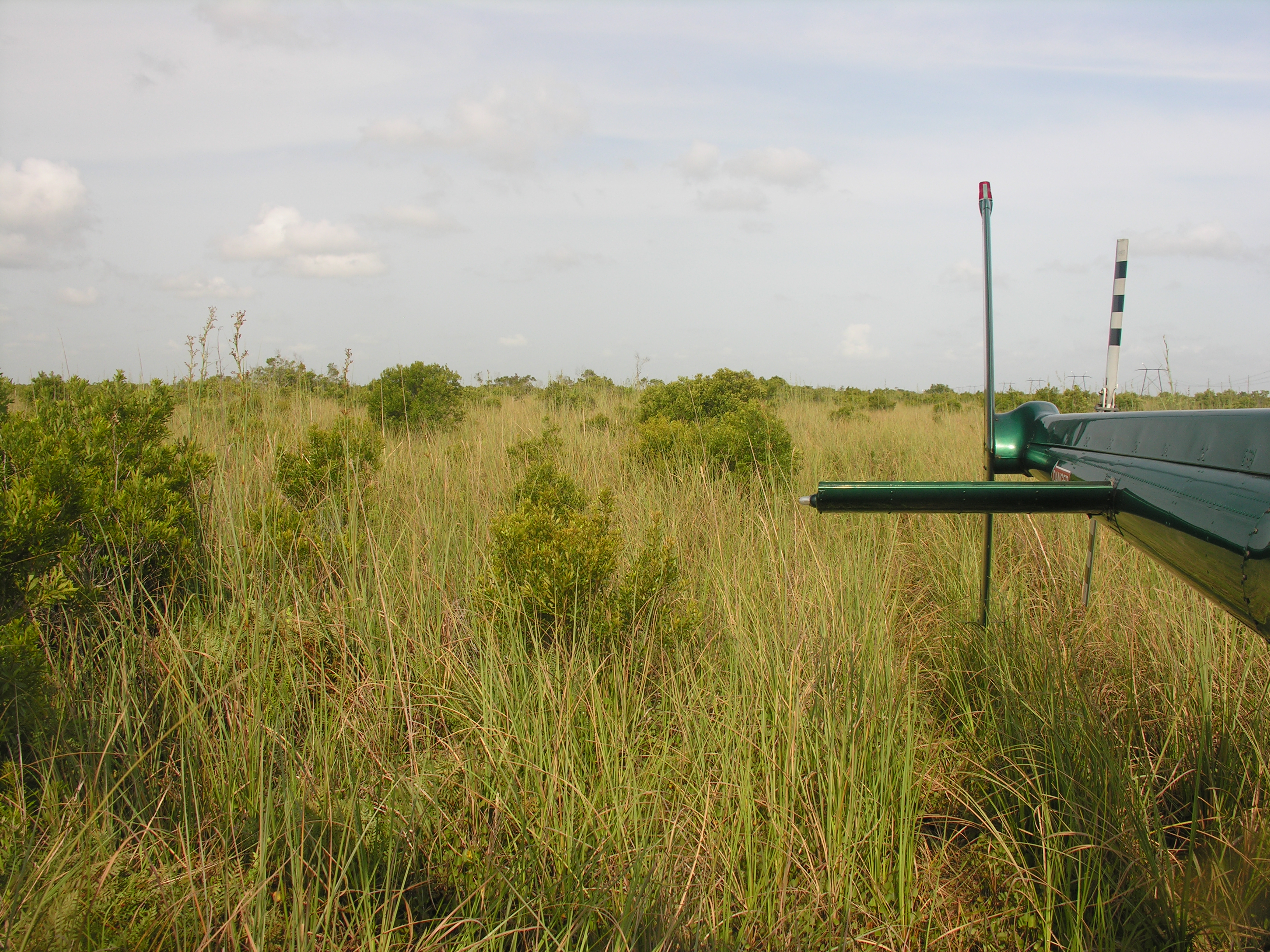
Water Conservation Area 3 (WCA3 N AA)
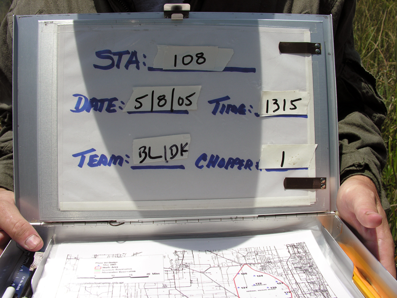
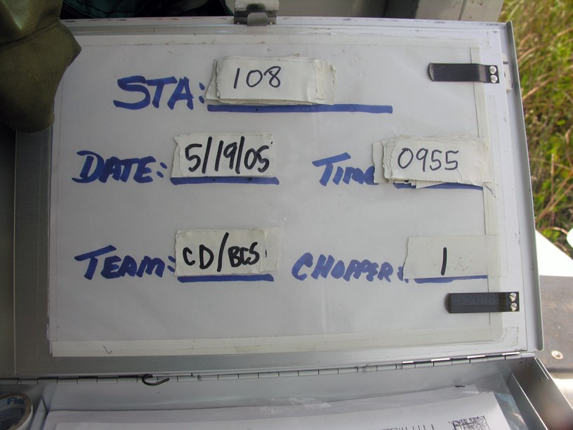
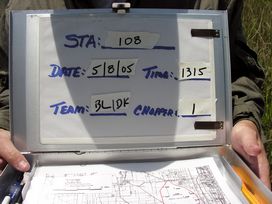
FIU Station: 108
| Panel: Regular | Season: Spring |
| BioChem Date/Time: 2005-05-08 13:15:00 |
| BioChem Crew: Bobby Lewis/Drew Kendall |
| Plants Date: 2005-05-19 | Aquatic Date: |

| Location | | NAD83 | NAD27 |
|---|
| Latitude | 26.331667 | 26.331667 | |
| Longitude | -80.698433 | -80.698421 | |
| UTM Y (northing) | | 2912246 | 2912450 |
| UTM X (easting) | | 530075 | 530096 |
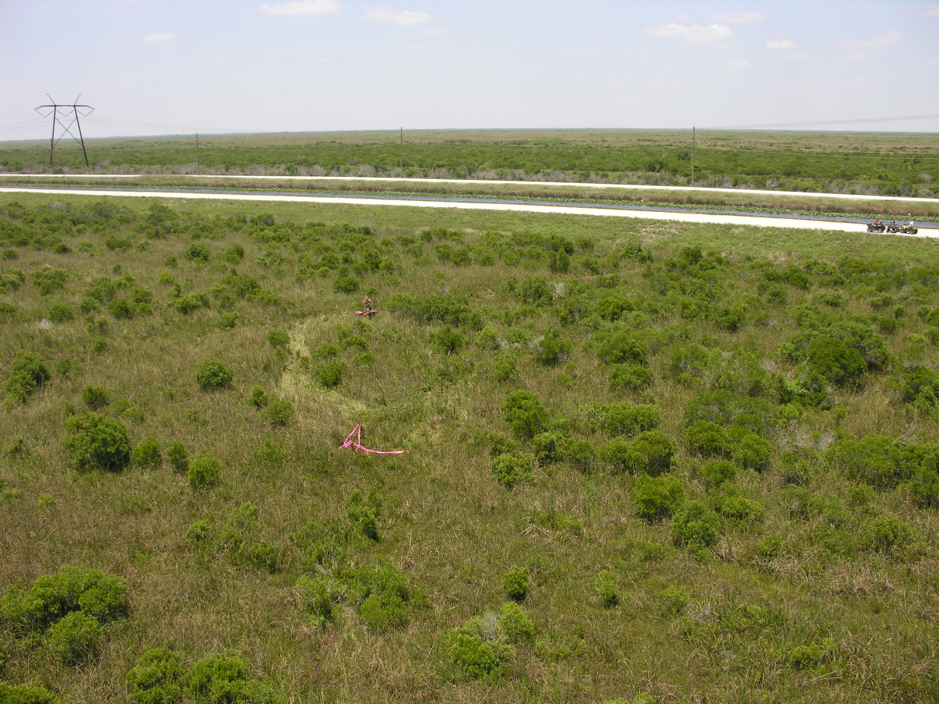
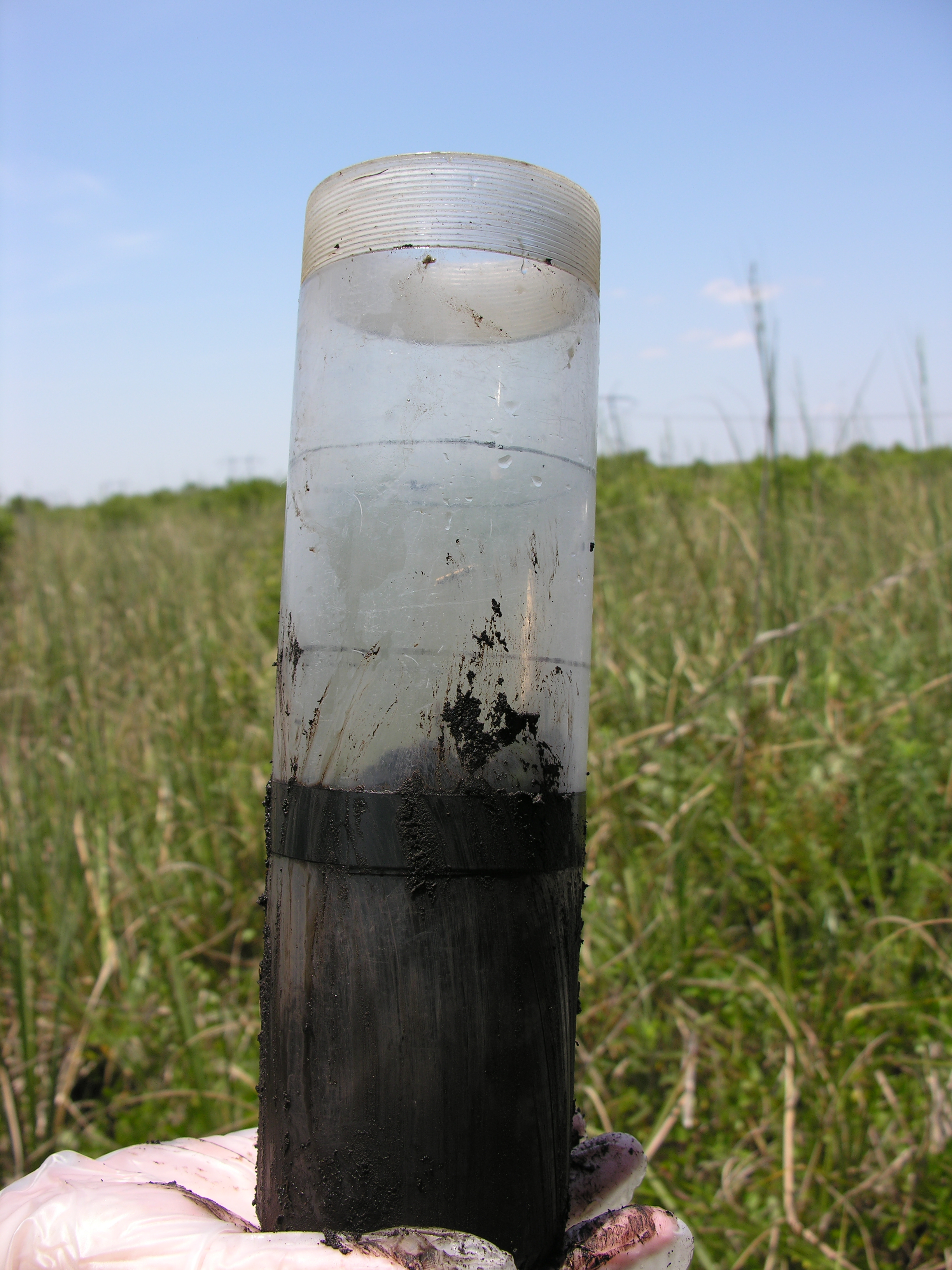
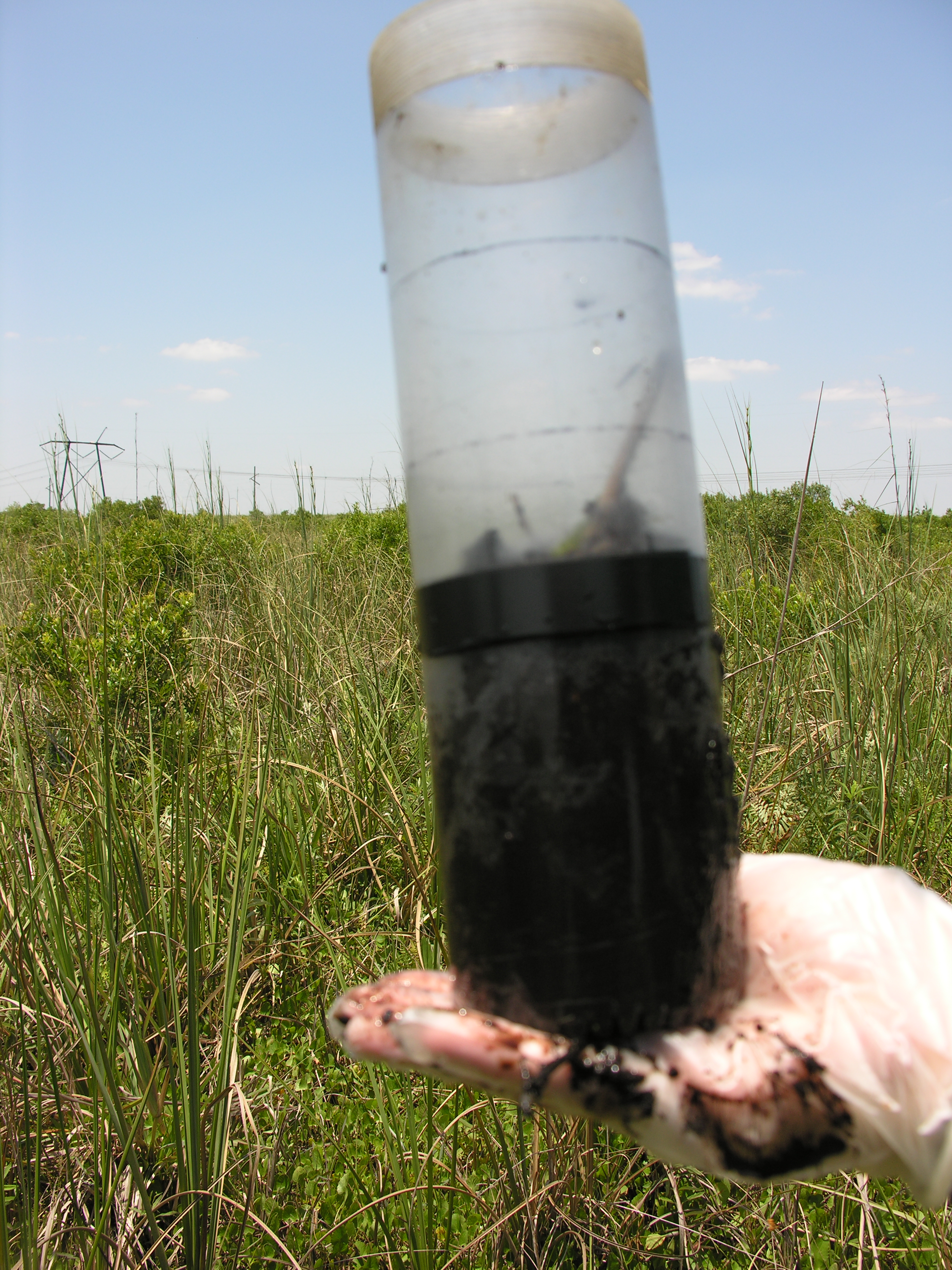
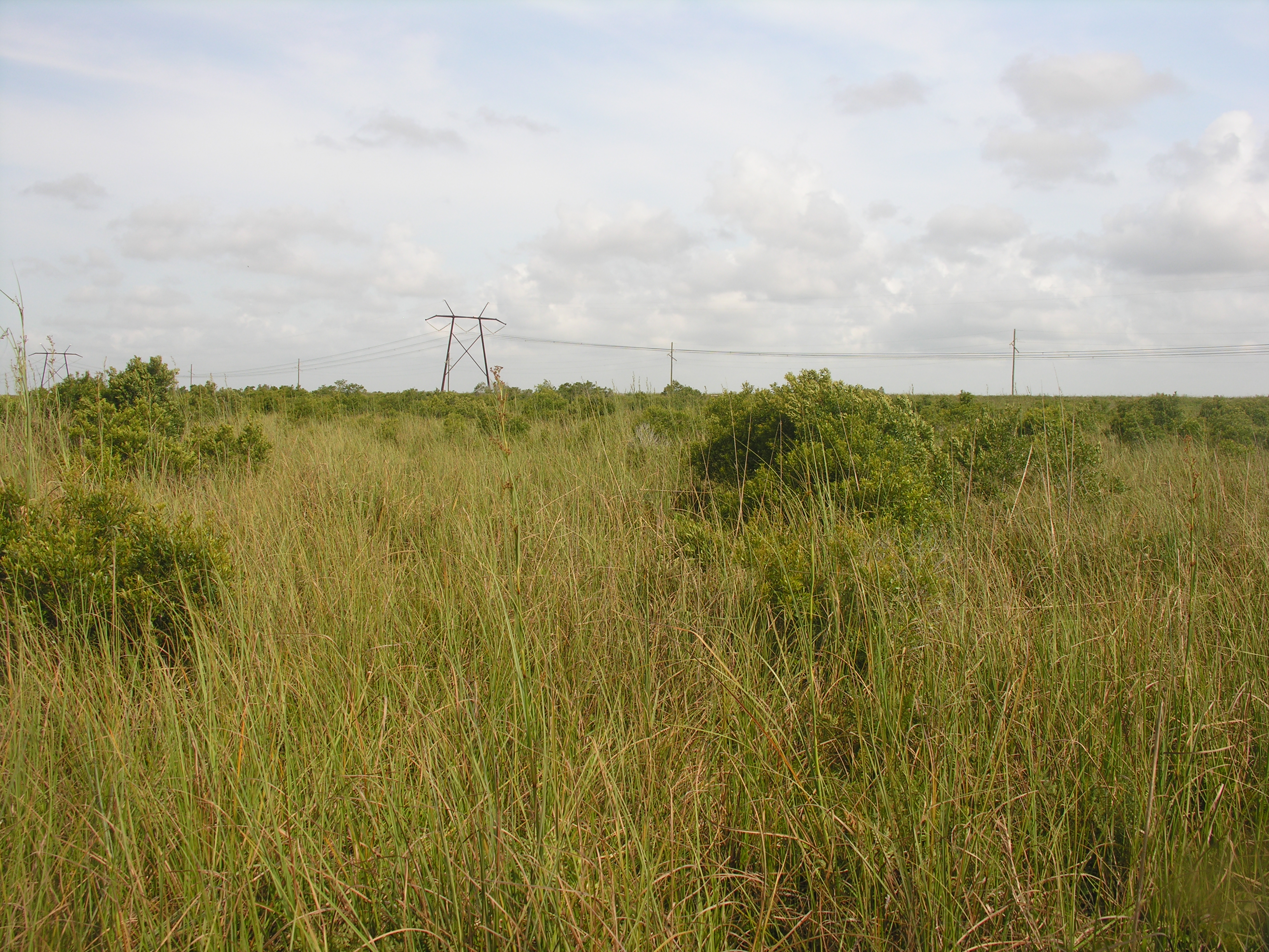
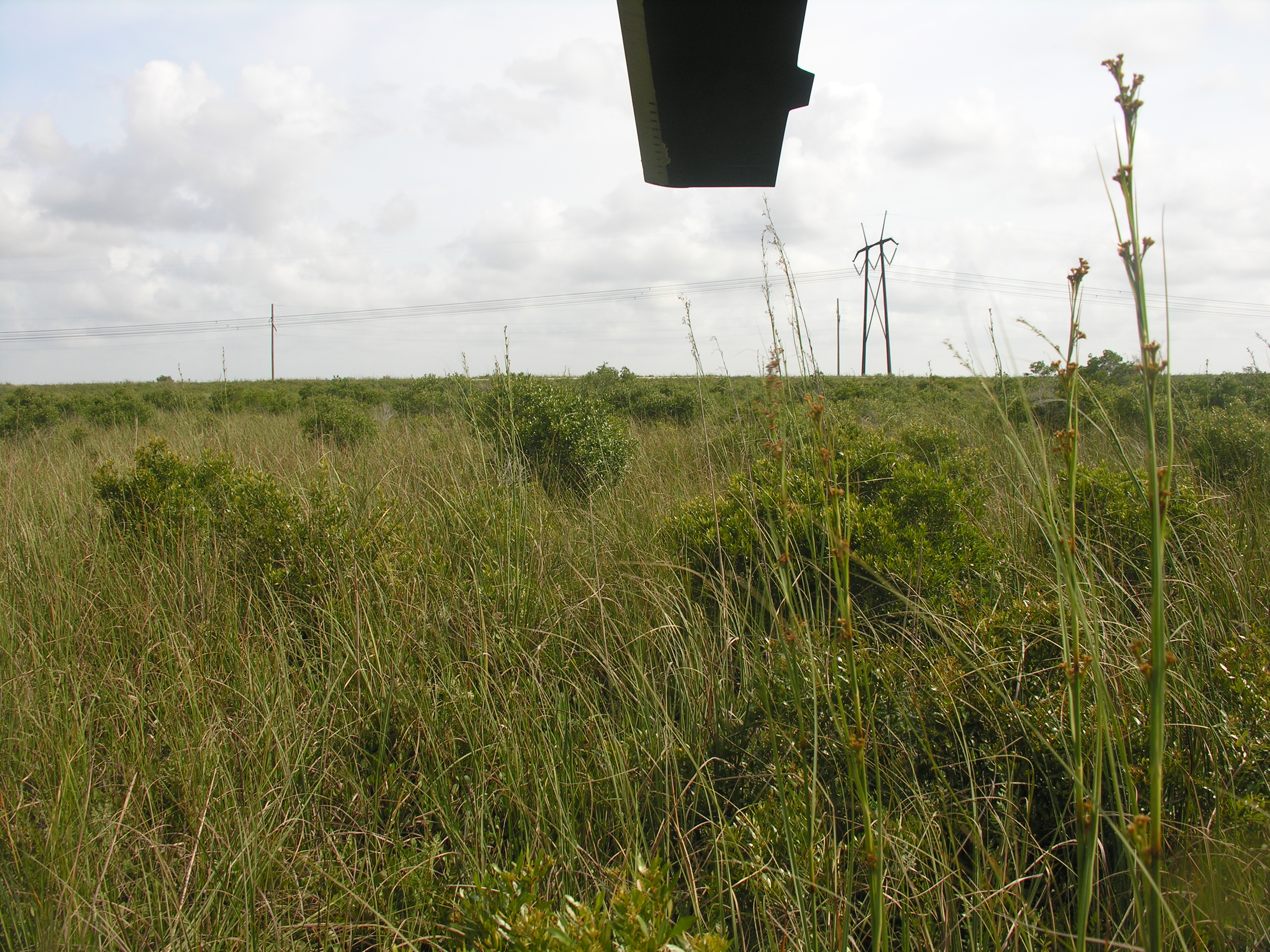
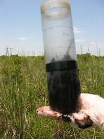
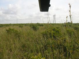
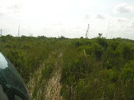
Comments: Location was ~ 100 yards south of leve road. Soil was organic rich fine material with clay.
Basic
| Item | Value | Description |
|---|
| Camera | N2 | Digital camera used for field documentation of habitat and soil core |
| Chopper | 1 | number of helicopter and associated sampling equipment and supply cache |
| Cycle | 6 | sampling cycle number |
| FISHNO1 | 0 | number of mosquitofish collected for Hg analysis |
| FISHNO2 | 0 | number of mosquitofish collected for isotope analysis |
| FLOCCONT | 0 | number and kind of container used for floc |
| PERIPB | no | benthic periphyton collected |
| PERIPE | no | epiphytic periphyton collected |
| PERIPF | no | floating mat periphyton collected |
| Soiltype | other | soil type categories, by visual observation |
| Station | 108 | sampling station numbers, unique for 2005, assigned by EPA to the Olsen site numbers; many of the FIU researchers use these numbers as their sample identifiers |
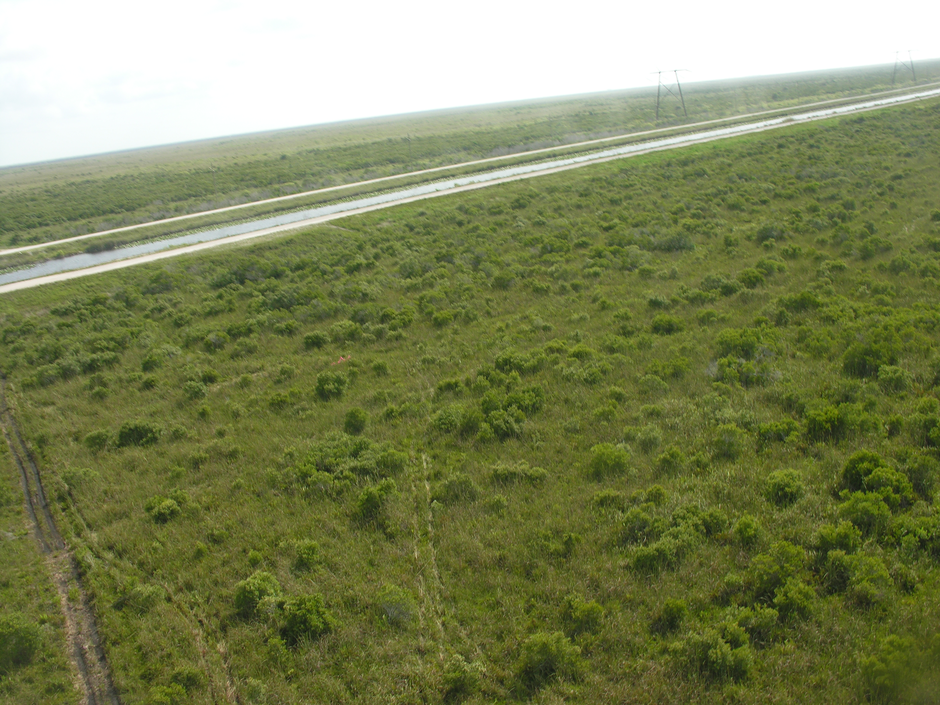
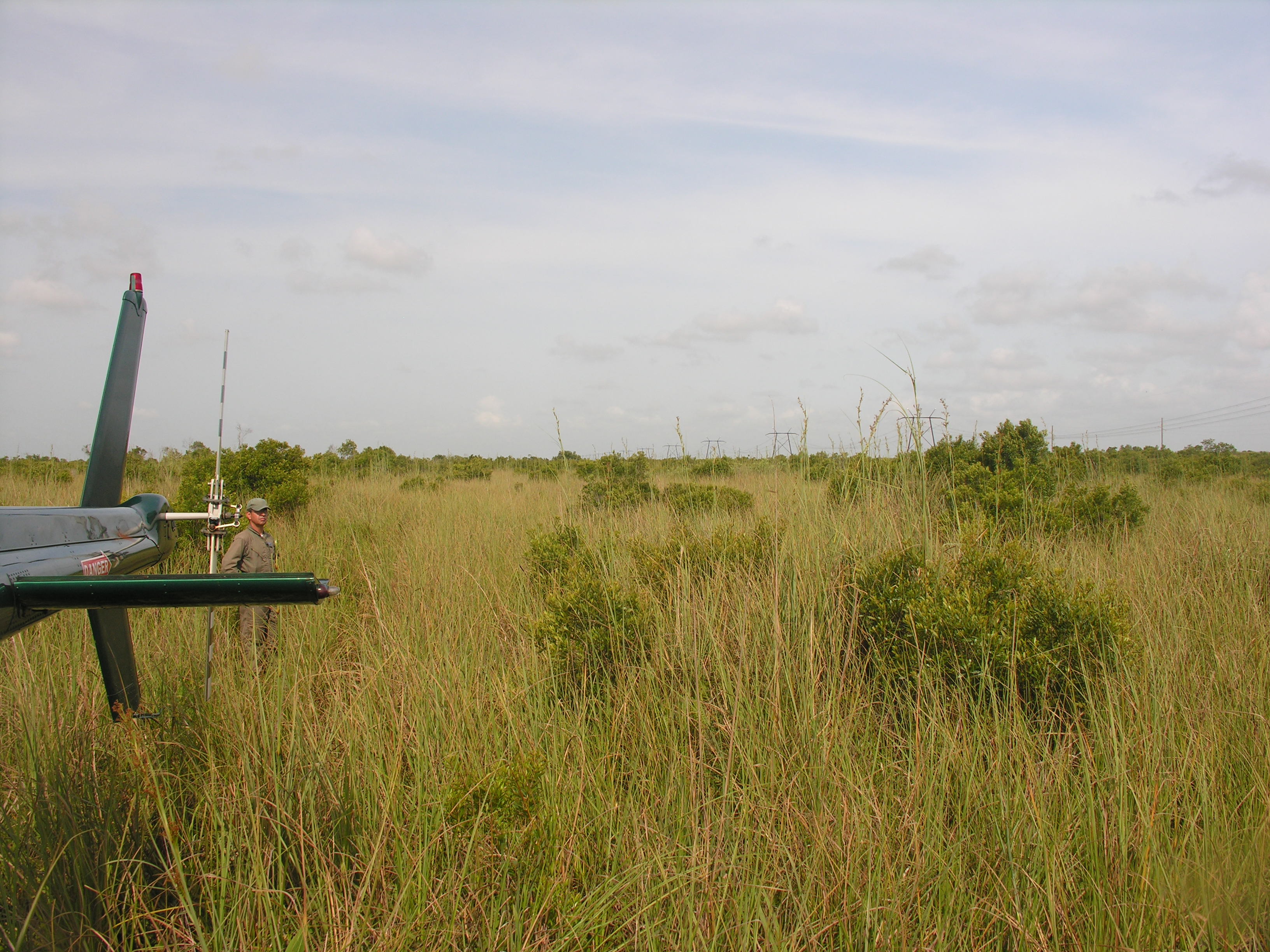
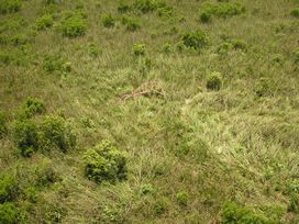
| VEGTYPE | brush | plant community observed at sampling site |
| Weather | 1 clear | weather conditions |
| X | NOMINAL | nominal = sampled within 5 meters of GPS coordinates
shifted = 5-20 meters
station rejected = >20 meters |
| PlantDate | 2005-05-19 | Plant collection date |
| Item | Value 1 | Value 2 | Value 3 | Average | Units | Description |
|---|
| FLOCTH | 0 | 0 | 0 | 0 | cm | vertical extent (length) of floc layer in core |
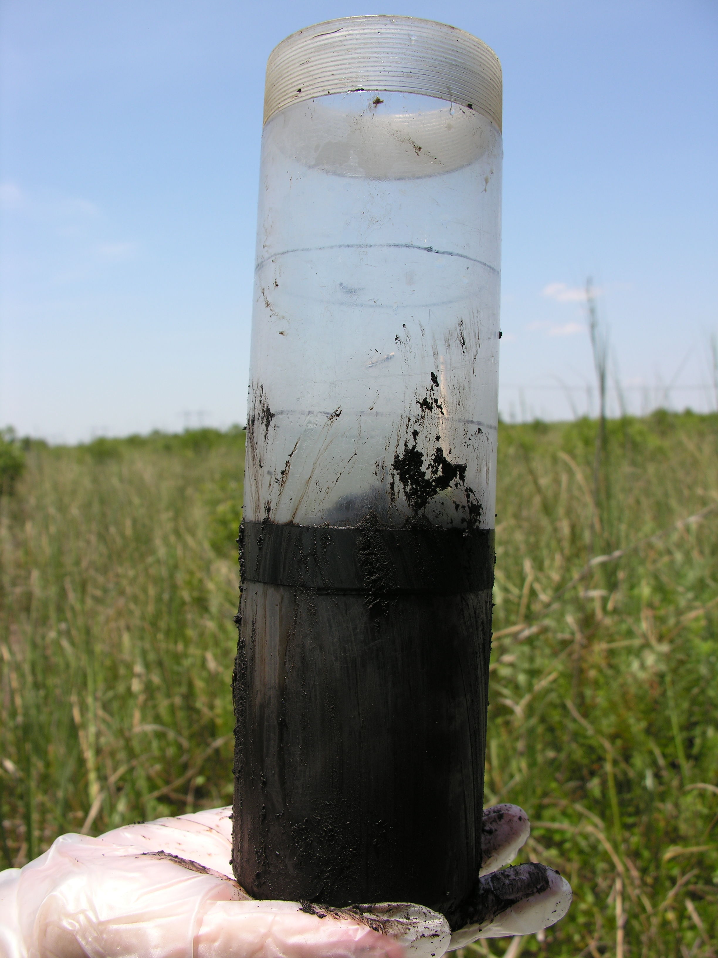
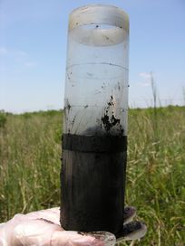
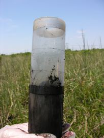
| SoilCTH | 10 | 10 | 10 | 10 | cm | vertical extent (length) of soil sample, from soil surface to bottom of core |
| SoilTHI | 1.4 | 1.8 | 1.6 | 1.6 | feet | soil thickness, metal probe to point of refusal |
| WatDept | 0 | 0 | 0 | 0 | feet | water depth |
BioChemistry
| Item | Value | Units | Q | Protocol | Description |
|---|
| AFDWSDFS | 82.77 | % | | FIU SERC | Ash Free Dry Weight for soil |
| BDSDFS | 0.2 | g/cc | | FIU SERC | Bulk Density for soil |
| MCSDFS | 0.17 | g/g | | FIU SERC | Mineral Content of soil |
| MEHGSDFC | 3.7 | ng/g | J | FIU SERC | Methyl Mercury in soil |
| pHSDEE | 6.9 | | | EPA SESD | ex situ soil pH |
| TCSDFB | 45 | % | | FIU SERC | Total Carbon in soil |
| THGSDFC | 150 | ng/g | | FIU SERC | Total Mercury in soil |
| TNSDFB | 3.4 | % | | FIU SERC | Total Nitrogen in soil |
| TPRSDFB | 650 | µg/g | | FIU SERC | Total Phosphorus in soil, recalculated |
| WCSDFS | 0.82 | g/g | | FIU SERC | Water Content of soil |
Plants
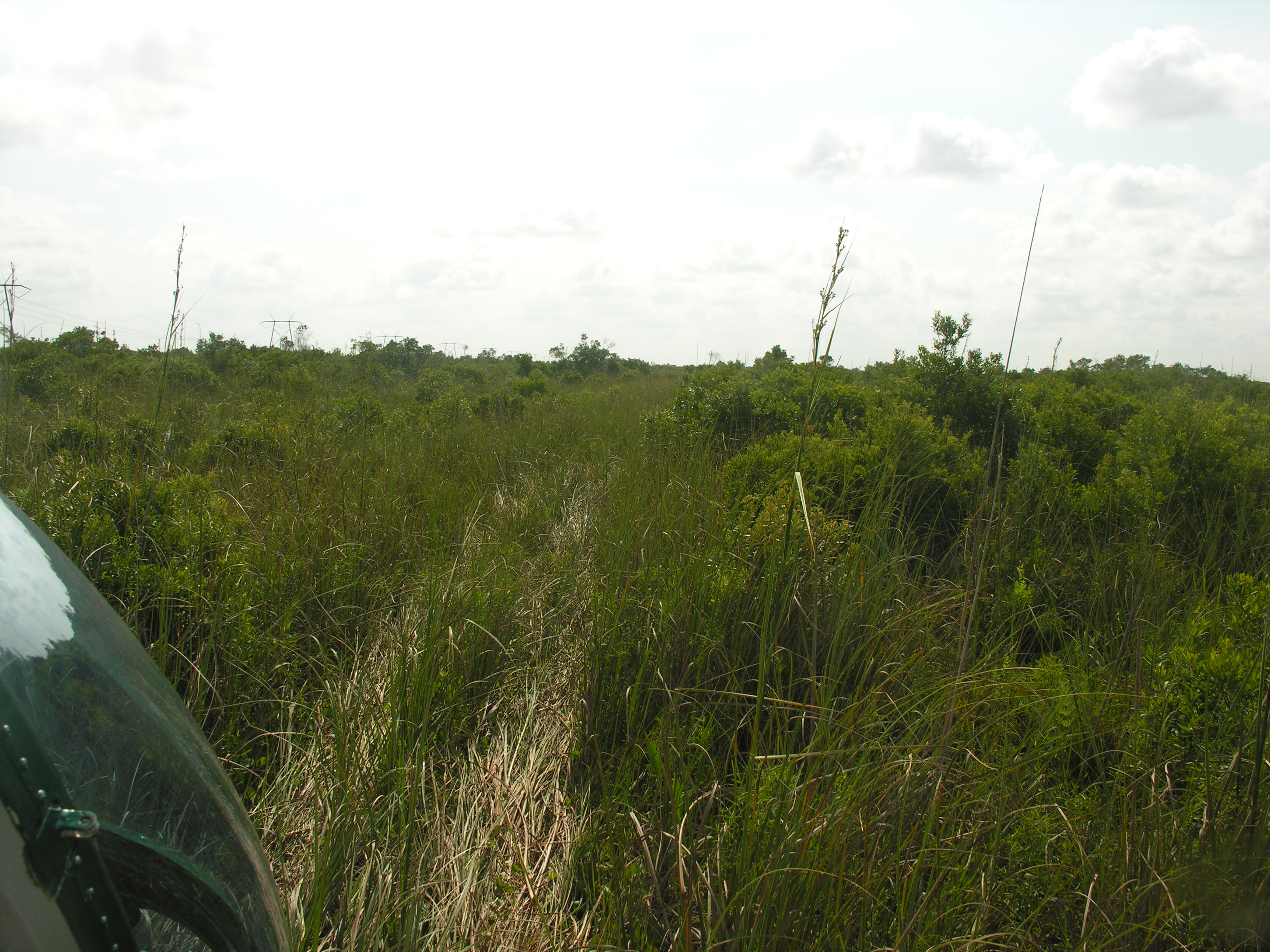
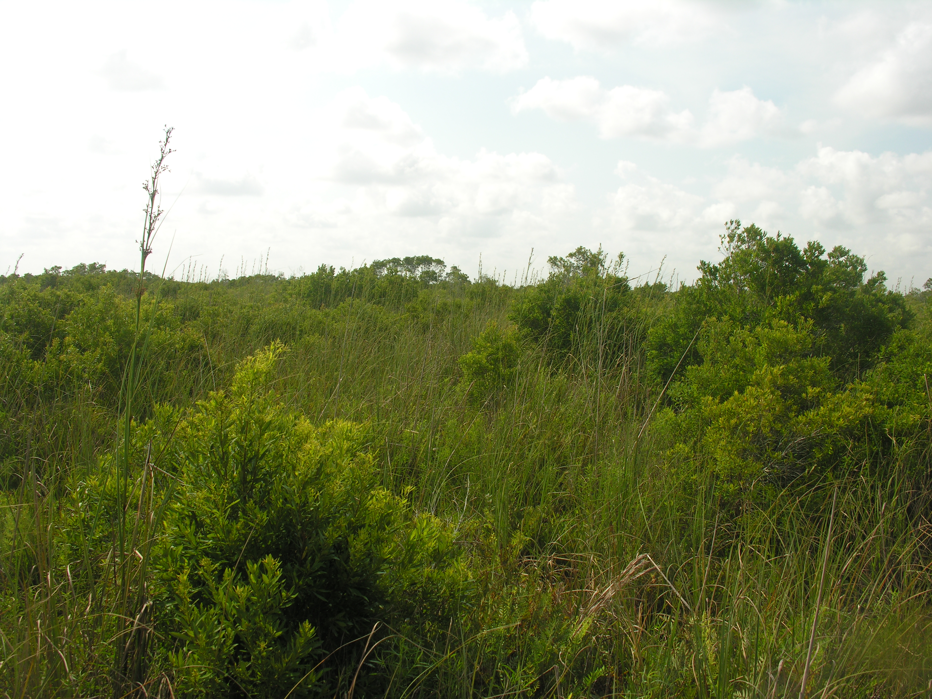
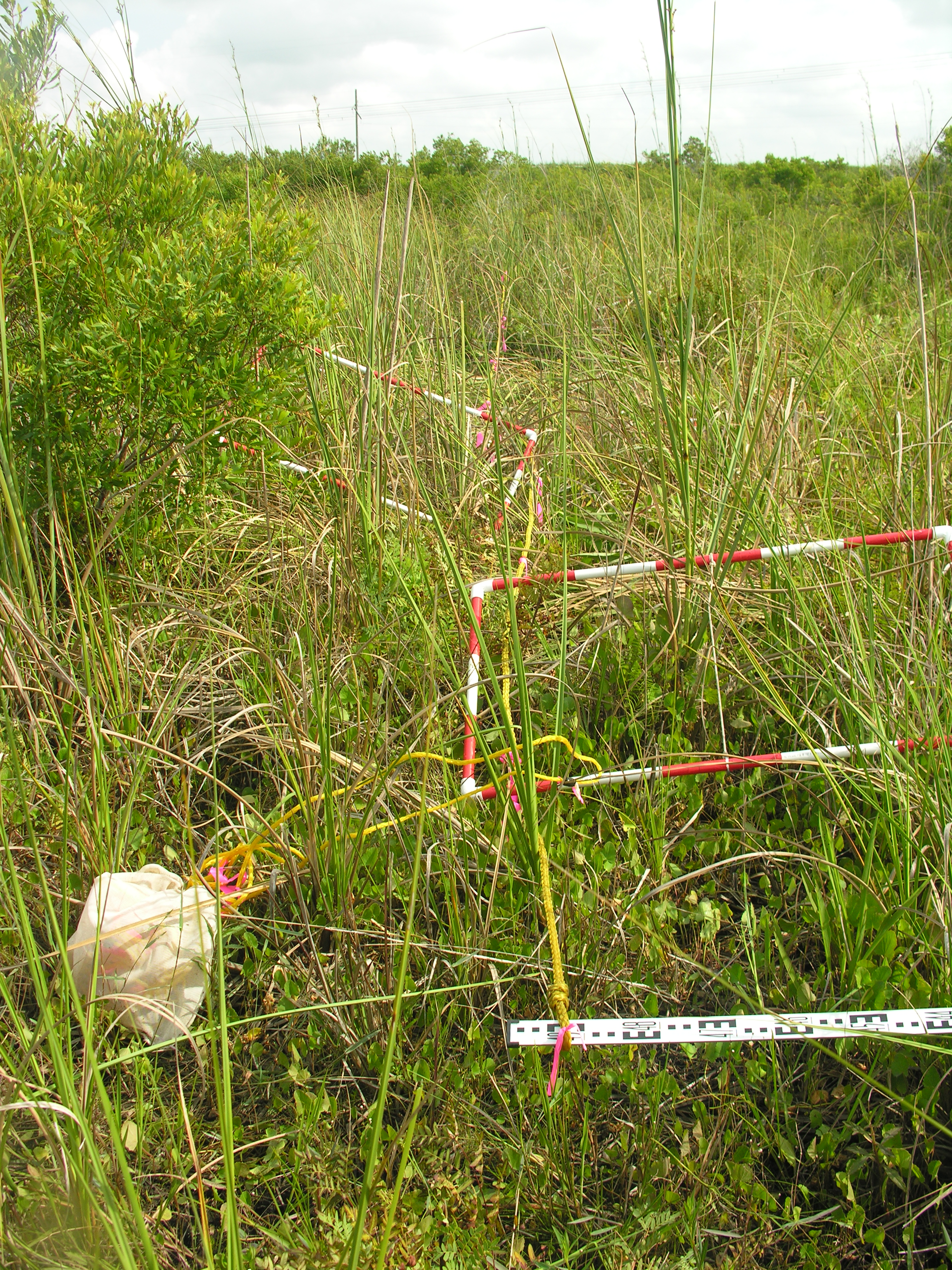
All sites sampled had 1 transect that ran south to north, with the southern end sampled 5 m due west of the biogeochemical sampling point.
If a second “habitat type”, as based on visual assessment of the botanist in the crew, was located within a 50 m radius of the first sampling point, a second transect was done in that habitat.
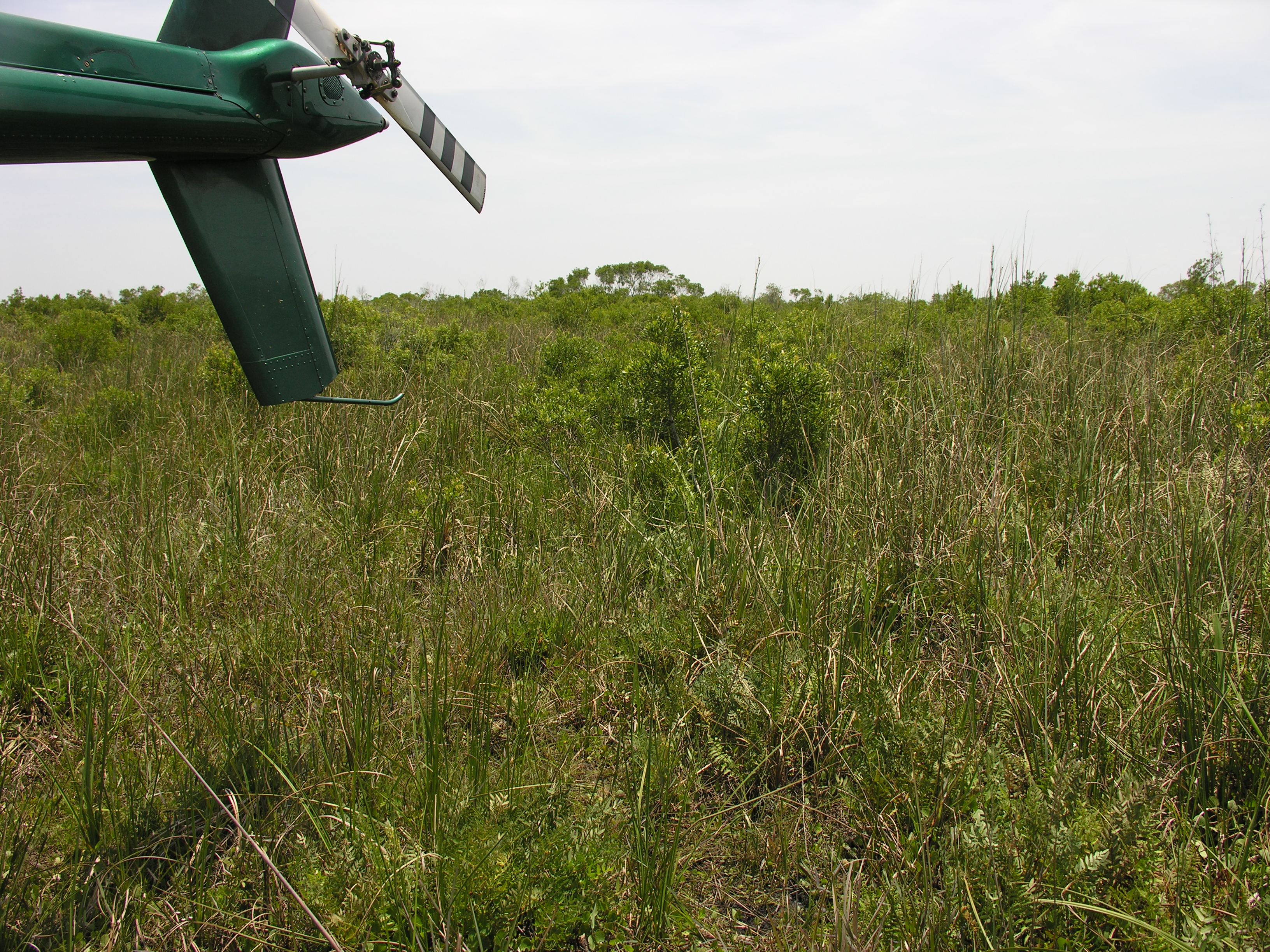
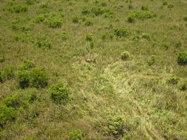
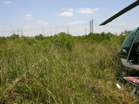
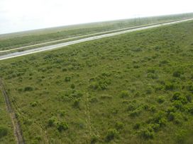
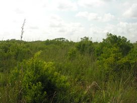
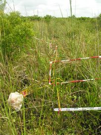
Left Panorama
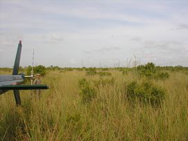
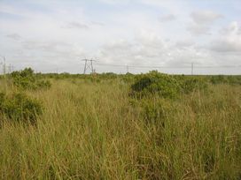
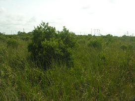
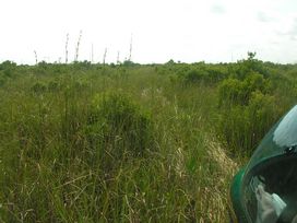
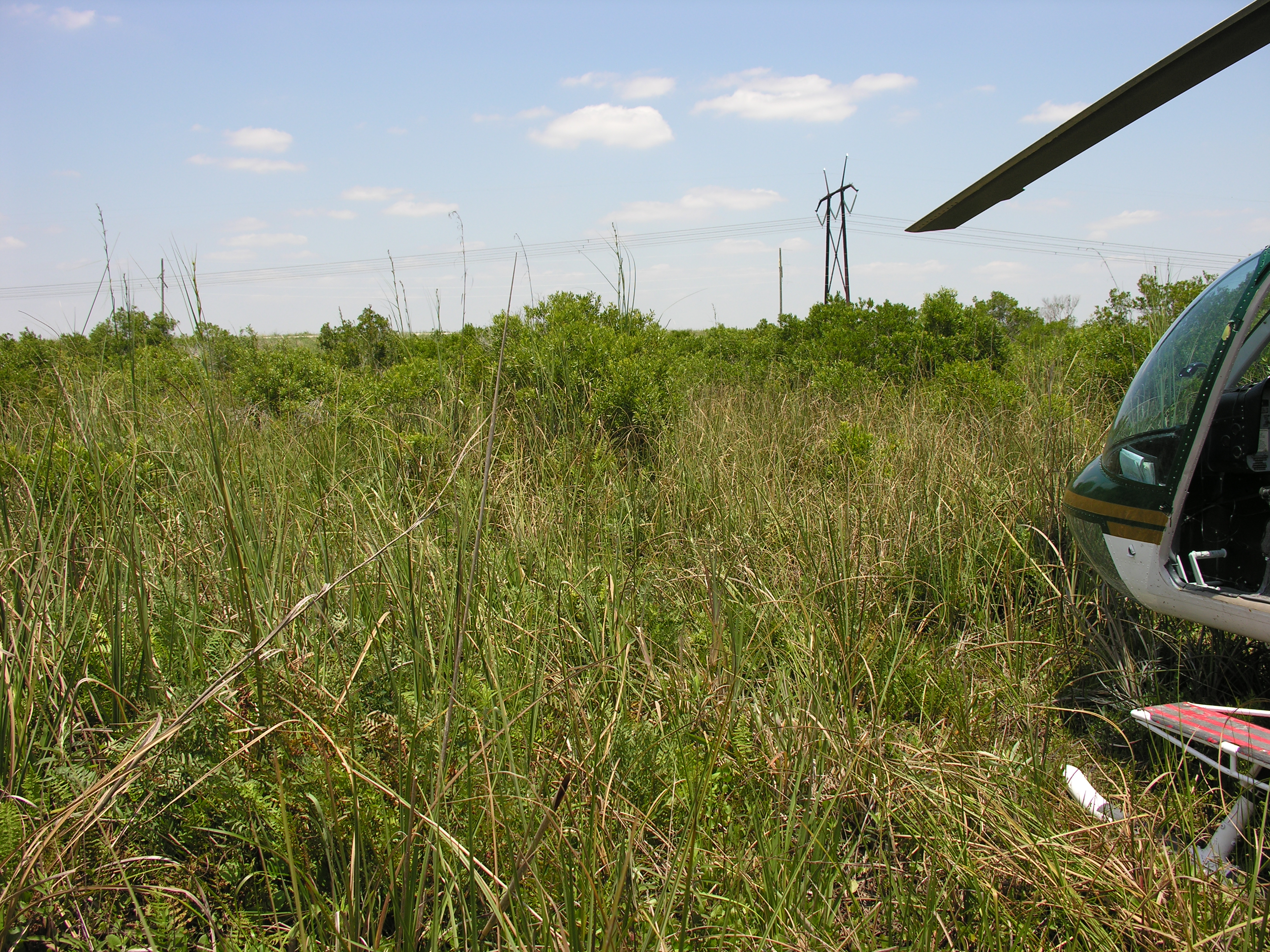
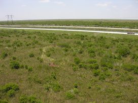
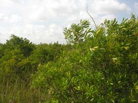
Right Panorama
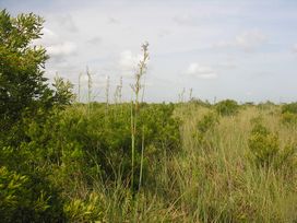
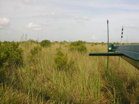
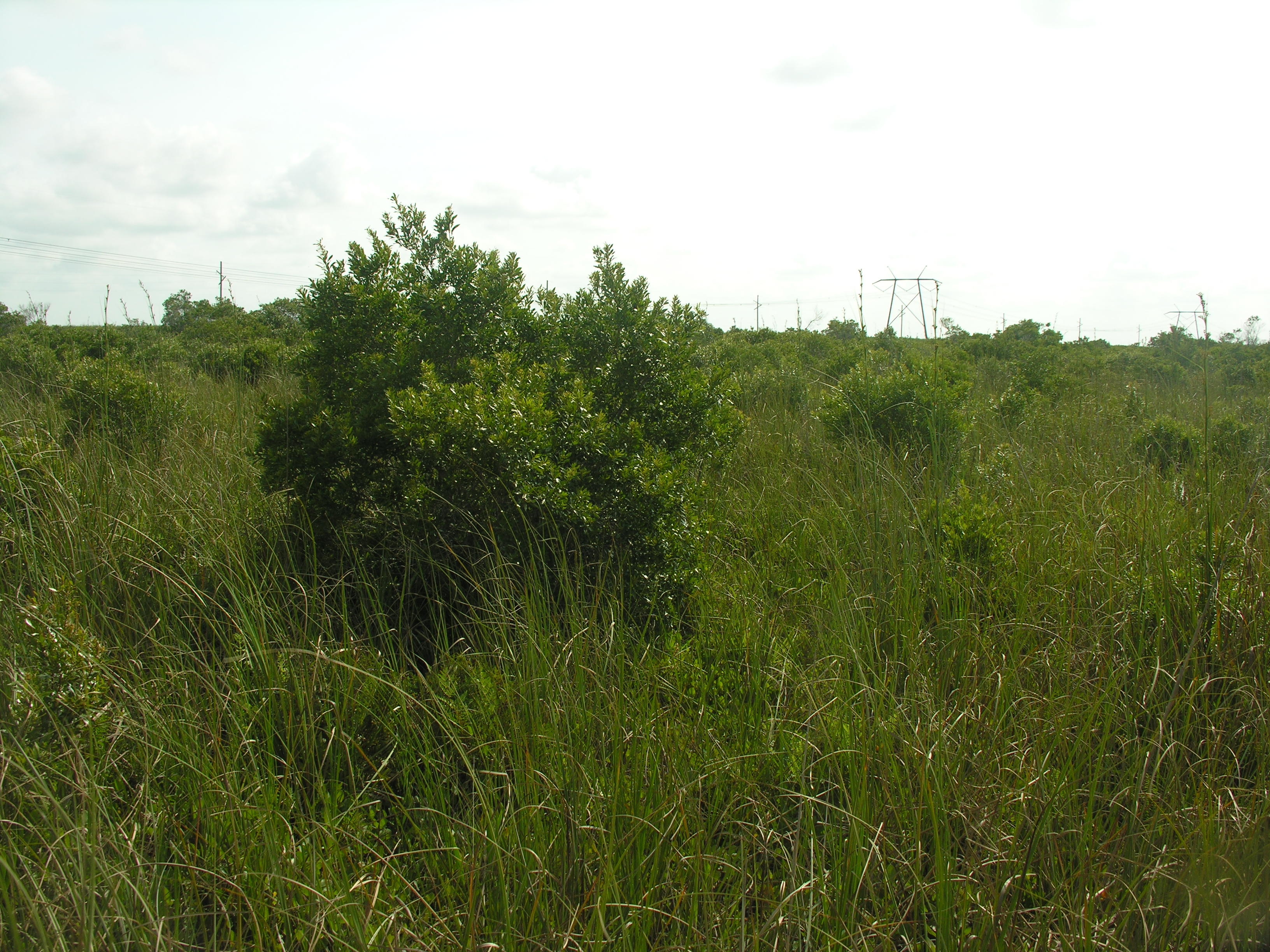
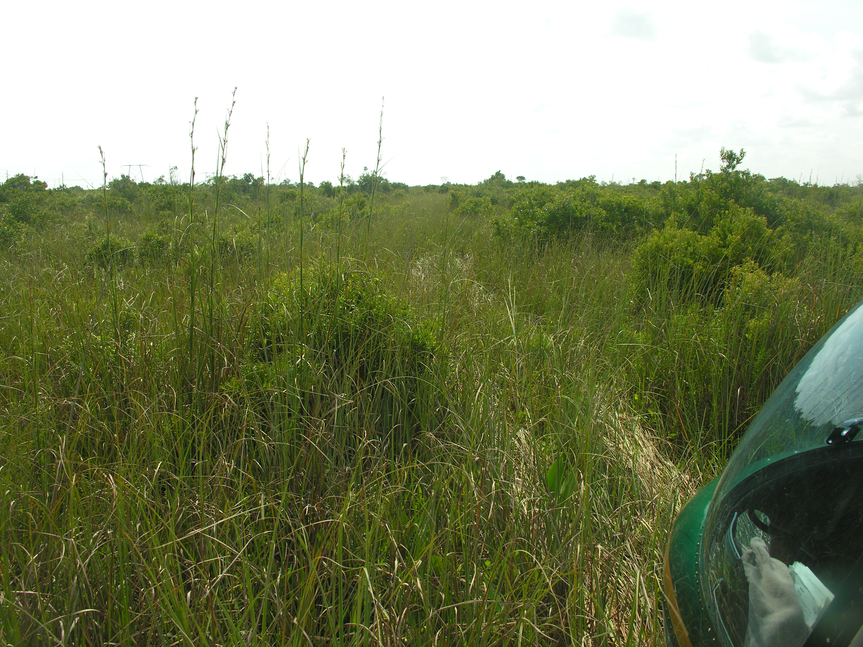
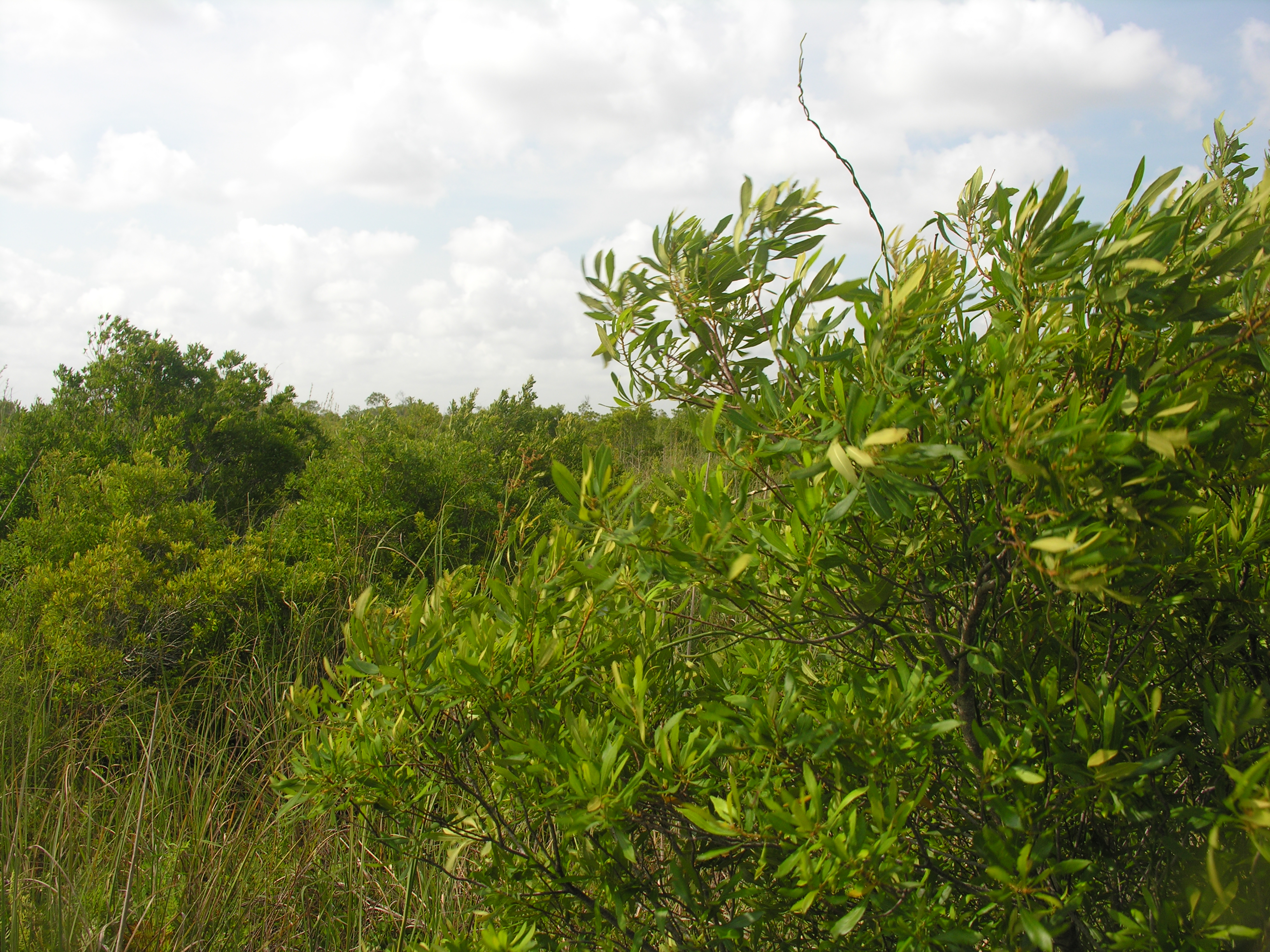
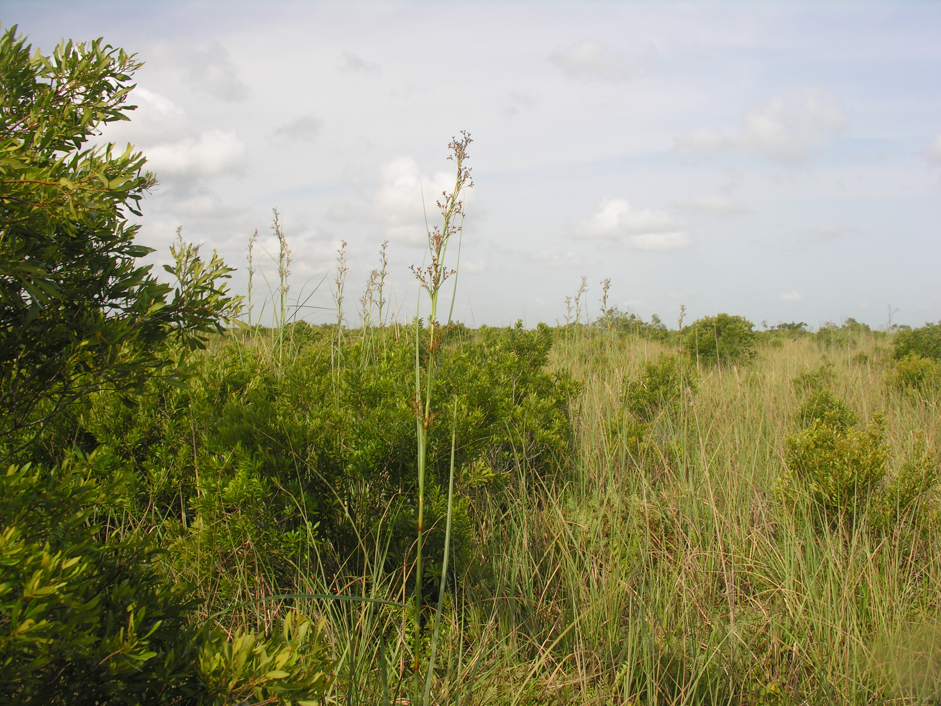
Transects
The number in each plant column records the number of quarter-meter-squared quadrats in 5 (1-meter-squared) quadrats in which that species was found at any given site.The 5 (1-meter-squared) quadrats were distributed to the right and left every 2 m along the 10 m transect.If the plant was not present, the cell has a 0;if the plant was present in every quarter-meter-squared quadrat, the number in the cell is 20.
| Item | Transect 1 | Transect 2 | Family | Scientific Name | Common Name |
|---|
| AnnoGlab | 2 | | Annonaceae | Annona glabra | Pond-apple |
| CentAsia | 19 | | Araliaceae | Centella asiatica | Coinwort, Spadeleaf |
| HydrUmbe | 2 | | Araliaceae | Hydrocotyle umbellata | |
| ConoCoel | 3 | | Asteraceae | Conoclinium coelestinum | |
| ErigQuer | 2 | | Asteraceae | Erigeron quercifolia | |
| MikaScan | 6 | | Asteraceae | Mikania scandens | Climbing hempweed, Climbing hempvine |
| PlucRose | 8 | | Asteraceae | Pluchea rosea | Rosy camphorweed |
| SoliSemp | 2 | | Asteraceae | Solidago sempervirens | |
| CladJama | 18 | | Cyperaceae | Cladium jamaicense | Saw-grass, Jamaica swamp sawgrass |
| RhynDive | 8 | | Cyperaceae | Rhynchospora divergens | Spreading beaksedge |
| ScleSp1 | 1 | | Cyperaceae | Scleria sp. | |
| ProsPalu | 11 | | Haloragaceae | Proserpinaca palustris | Mermaid weed, Marsh mermaidweed |
| HyptAlat | 13 | | Lamiaceae | Hyptis alata | Musky mint, Clustered bushmint |
| TeucCana | 7 | | Lamiaceae | Teucrium canadense | Wood sage, Canadian germander |
| MyriCeri | 1 | | Myricaceae | Myrica cerifera | Wax myrtle, Southern Bayberry |
| LudwMicr | 8 | | Onagraceae | Ludwigia microcarpa | Smallfruit primrosewillow |
| OsmuRega | 6 | | Osmundaceae | Osmunda regalis var. spectabilis | Royal fern |
| DichDich | 16 | | Poaceae | Dichanthelium dichotomum | Cypress witchgrass |
| PaniRigi | 2 | | Poaceae | Panicum rigidulum | Redtop panicum |
| SaccGiga | 3 | | Poaceae | Saccharum giganteum | |
| PolyHydr | 2 | | Polygonaceae | Polygonum hydropiperoides | Mild water-pepper, Swamp smartweed |
| DiodVirg | 6 | | Rubiaceae | Diodia virginiana | Buttonweed, Virginia buttonweed |
| ThelPalu | 11 | | Thelypteridace | Thelypteris palustris | |
| XyriSmal | 1 | | Xyridaceae | Xyris smalliana | Small's yelloweyed grass |
Exotics
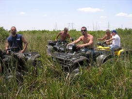
In the 2005 R-EMAP sampling invasive exotic plant species were surveyed in two ways. The first survey was done on the helicopter fly-in to the GPS site and covered the general area of the site, while the second was a 360° site survey from the helicopter pontoons after landing and covered the immediate area of the site. In the aerial (A) helicopter survey we looked for the presence of six invasive exotic species (Casuarina spp., Lygodium microphyllum, Melaleuca quinquenervia, Neyraudia reynaudiana, Pennisetum purpureum and Schinus terebinthefolius), as well as the presence of cattail (Typha domingensis). In the survey from the helicopter floats (F) we recorded the presence of any exotic seen; the only additional exotic species observed from the floats was Salvinia minima. In both surveys we recorded the presence of species and quantified their abundance using categories for the number of individuals. The categories used were 0 (i.e., not present), 1 individual, 2 - 10 individuals, and > 10. We did not find Neyraudia reynaudiana at any site, so this species was not included in the database.
| Item | Abundance | Scientific Name | Source |
|---|
| CasuSp_A | 0 | Casuarina species | aerial fly-in |
| CasuSp_F | 0 | Casuarina species | floats |
| LygoMicr_A | 0 | Lygodium microphyllum | aerial fly-in |
| LygoMicr_F | 0 | Lygodium microphyllum | floats |
| MelaQuin_A | 0 | Melaleuca quinquenervia | aerial fly-in |
| MelaQuin_F | 0 | Melaleuca quinquenervia | floats |
| PennPurp_A | 0 | Pennisetum purpureum | aerial fly-in |
| PennPurp_F | 0 | Pennisetum purpureum | floats |
| SalvMini_F | 0 | Salvinia minima | floats |
| SchiTere_A | 0 | Schinus terebinthefolius | aerial fly-in |
| TyphDomi_A | 0 | Typha domingensis | aerial fly-in |
| TyphDomi_F | 0 | Typha domingensis | floats |
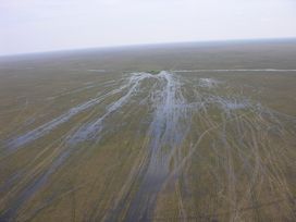
Vegetation Map