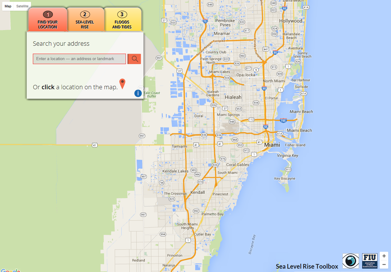
Sea Level Rise Toolbox
Project Link: Sea Level Rise Toolbox (http://eyesontherise.org/app)
People: Zhaohui Fu, FIU GIS Center PI / Peter Harlem, FIU GIS Center Specialist / Dan McGillicuddy, Main Developer / Susan Jacobson, Funding Partner, FIU School of Journalism and Mass Communication
This interactive mapping tool uses elevation data from the Google Elevation Service, and is also based on LiDAR elevation data from the State of Florida’s Division of Emergency Management LiDAR project. The app’s main feature is an interactive sea level rise viewer, where users can enter an address to visualize how an increase in sea level of up to 6 feet may affect their neighborhoods.
Date
May 25, 2011
Category
Other